

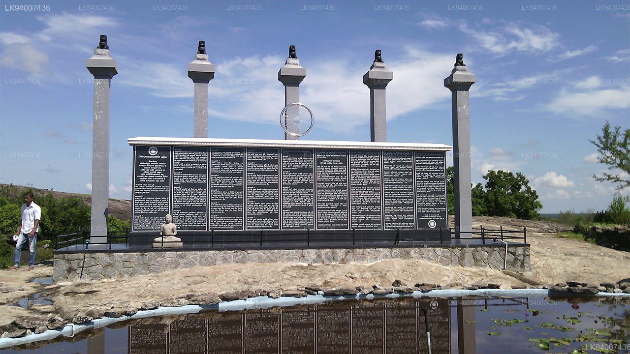
Buddhangala
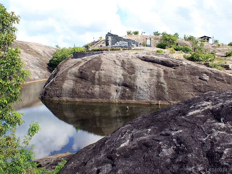
Buddhangala is a name that has recently been dropped, and it is believed that the name Buddhangala was coined because the rock here looks like a reclining Buddha statue. It is located in the Ampara Division of the Digamadulla District in the Eastern Province of Sri Lanka. This area is about 1280 acres and several large rock towers stand out together. Each of these boulders is separated by steep slopes and can only be climbed by separate paths.
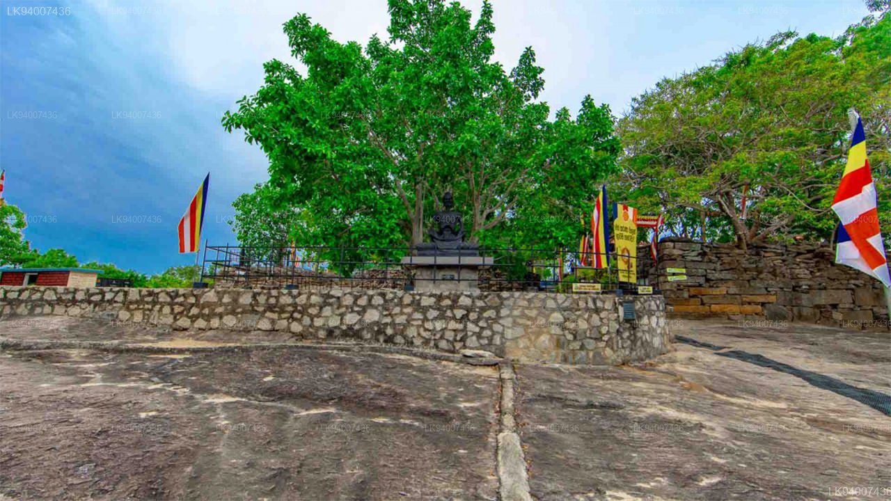
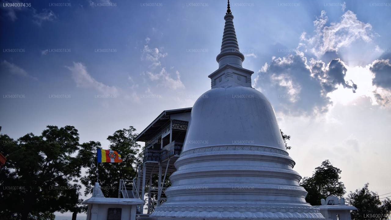
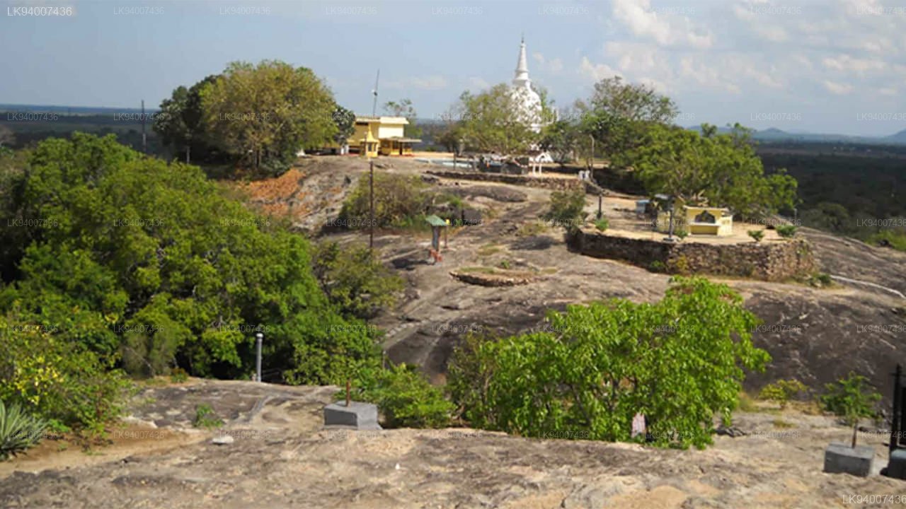
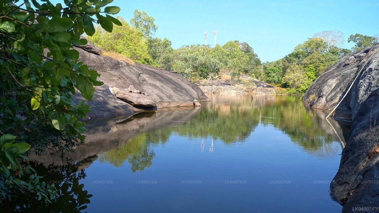
The monastery had been built in and around a rocky mountain scattered with caves and ponds, which are now the home and playgrounds of many wild beasts. The temple which is found on site today is built on a mountain that holds the finely carved stone remains of five buildings and a ruined stupa, which is yet to be excavated.
The original name of Buddhangala is not known, one belief is that the name is derived due the shape of the rock formation, which looks like Buddha in a lying position. The tamils and the the muslims who now occupy the land surrounding the hermitage area calls this “Buddhankalei” and the current Sinhalese name Buddhangala could have been derived from this.


