Madhu Road National Park
Madhu Road National Park is a protected forest area located in the Northern Province of Sri Lanka, near the historic town of Madhu. The park is known for its dry zone forest ecosystem and its importance in conserving wildlife and maintaining the natural balance of the region.
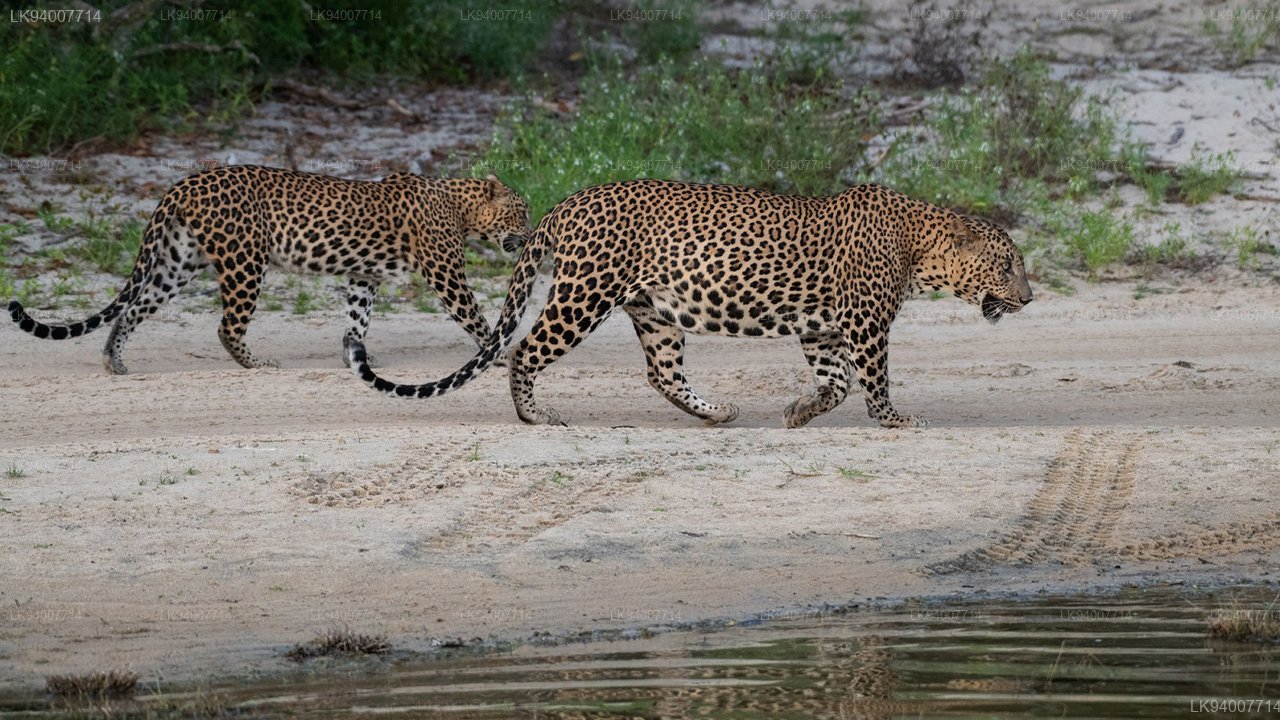
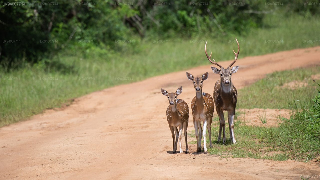
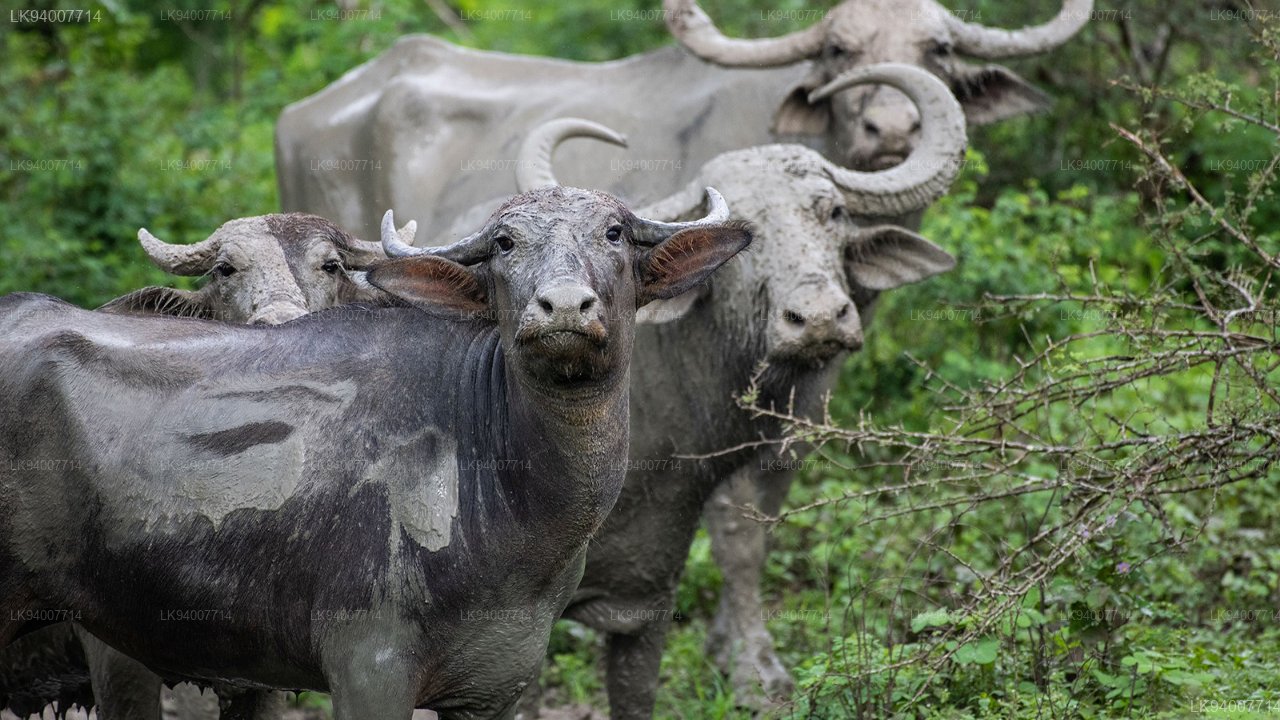
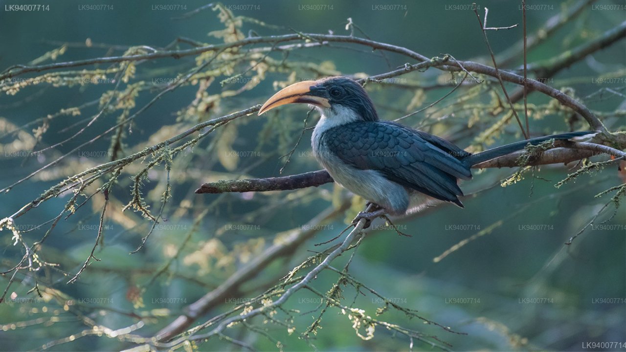
The park consists of scrub forests, open grasslands, and small water bodies that support a variety of wildlife species. Animals such as elephants, deer, and smaller mammals inhabit the area, along with a range of bird species that thrive in the dry zone environment. The vegetation includes native trees and shrubs adapted to the region's climate.
Visitors to Madhu Road National Park can experience quiet nature exploration, wildlife observation, and the peaceful atmosphere of a less crowded protected area. Its proximity to the Madhu Church also adds cultural value, allowing visitors to combine ecological and spiritual experiences.
The best time to visit Madhu Road National Park is from May to September, when the northern region experiences drier weather and favorable conditions for travel. Accessible from Mannar and surrounding towns, the park offers a calm and natural setting for those interested in Sri Lanka's wildlife and landscapes.